The Family Road Trip Before GPS
Paper maps on the dashboard, warm sandwiches in foil, and someone always asking how much farther.
Before a calm electronic voice announced every turn, the family road trip relied on paper, preparation, landmarks, and a certain tolerance for disagreement. The route lay folded in the glove compartment or spread across a passenger’s lap, too large for the car and never willing to return neatly to its original shape.
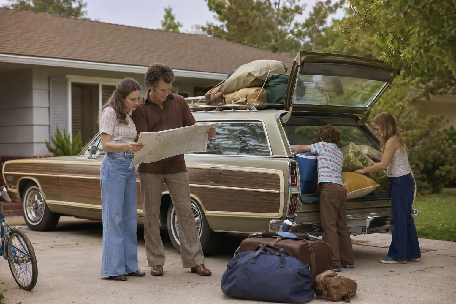
Navigation was a family role
Someone had to read the map. This meant finding the current road, anticipating the next turn, and translating inches of printed line into miles of real pavement. A missed exit could produce silence, blame, laughter, or all three. Directions from a gas station added another layer: turn where the old barn used to be, then keep going until the road bends.
Children followed progress differently. They watched town names, license plates, or mile markers. A parent might trace the route with a finger, giving the back seat a glimpse of distance. The map made the journey visible as a whole. Even without understanding scale, a child could see there was a long line between here and there.
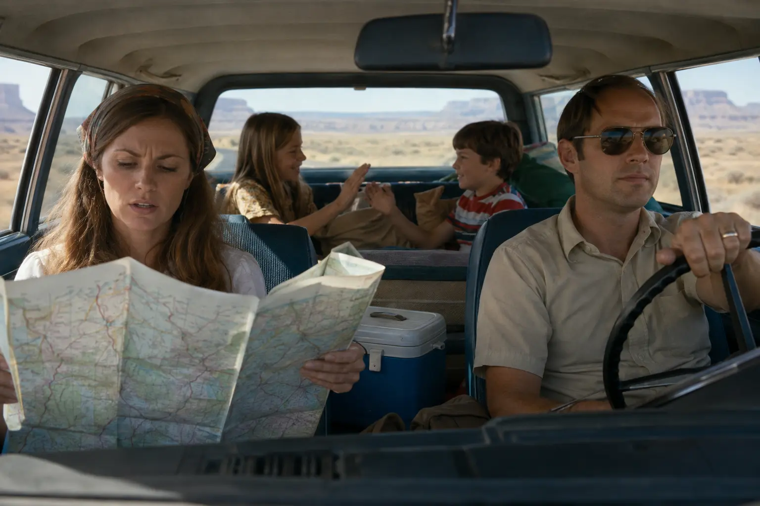
The car became a moving household
Food was packed to control cost and reduce stops: sandwiches, fruit, crackers, a thermos, and treats released at strategic moments. Pillows and blankets claimed territory. Games began with good intentions and ended when everyone grew tired of the rules. Radio signals faded and returned, offering unfamiliar stations from towns along the way.
Comfort standards were flexible. Seats grew warm, legs needed stretching, and the person by the window controlled a valuable view. Yet confinement also produced conversation. Stories surfaced because the road kept going. Families argued, sang, slept, and watched weather move across a landscape larger than the neighborhood at home.
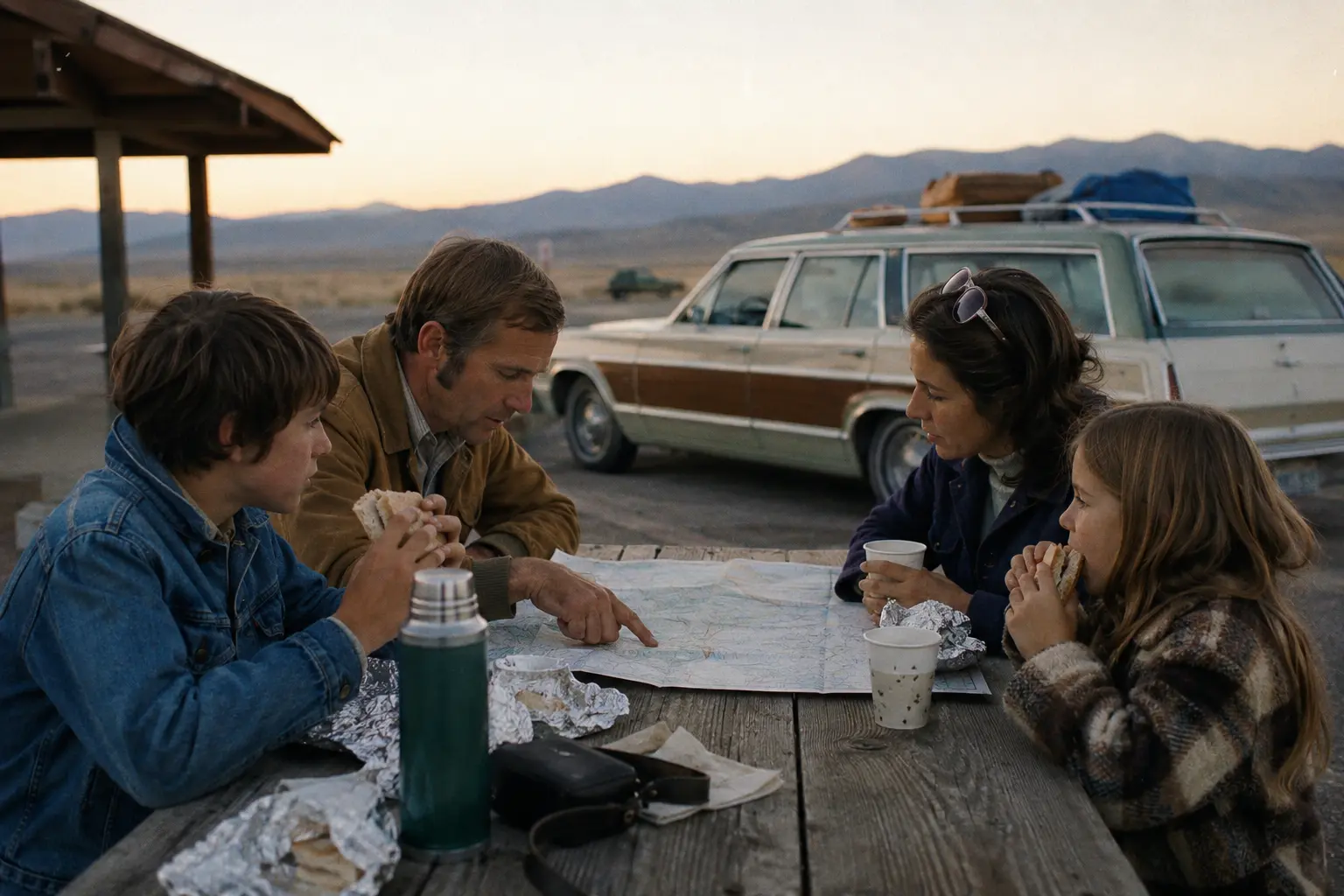
The destination gave the trip a reason; the detours gave the family its stories.
Getting lost became part of arriving
There was real stress in not knowing one’s exact position, especially after dark or with little fuel. Nostalgia should not hide that. But small navigational errors sometimes revealed a diner, town square, overlook, or roadside stand no itinerary had promised. The detour entered family history because it was shared.
GPS makes travel safer and more efficient. The paper-map journey offered a different relationship with place. Travelers had to notice road numbers, direction, rivers, and the shape of a route. Arrival felt earned not because the miles were harder, but because everyone had participated in finding the way.
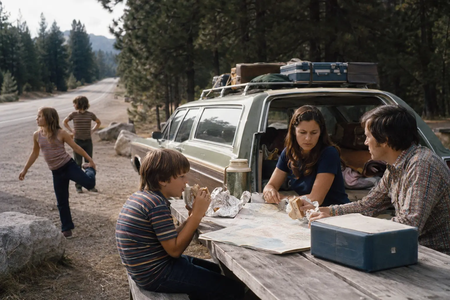
Getting lost became part of the family story
Navigation was a shared, imperfect task. A route might come from a road atlas, directions copied during a phone call, or landmarks that made perfect sense only to the person who gave them. Miss one turn and the whole car became involved, scanning for a bridge, a gas station, or the diner that was supposed to be just past the county line.
The inconvenience created unexpected memories. A wrong road revealed a view, a town, or a roadside stand that was never in the plan. Not every detour was charming in the moment—especially in heat or traffic—but the difficult part often became the part retold. Arrival mattered; so did the family’s version of how they finally got there.
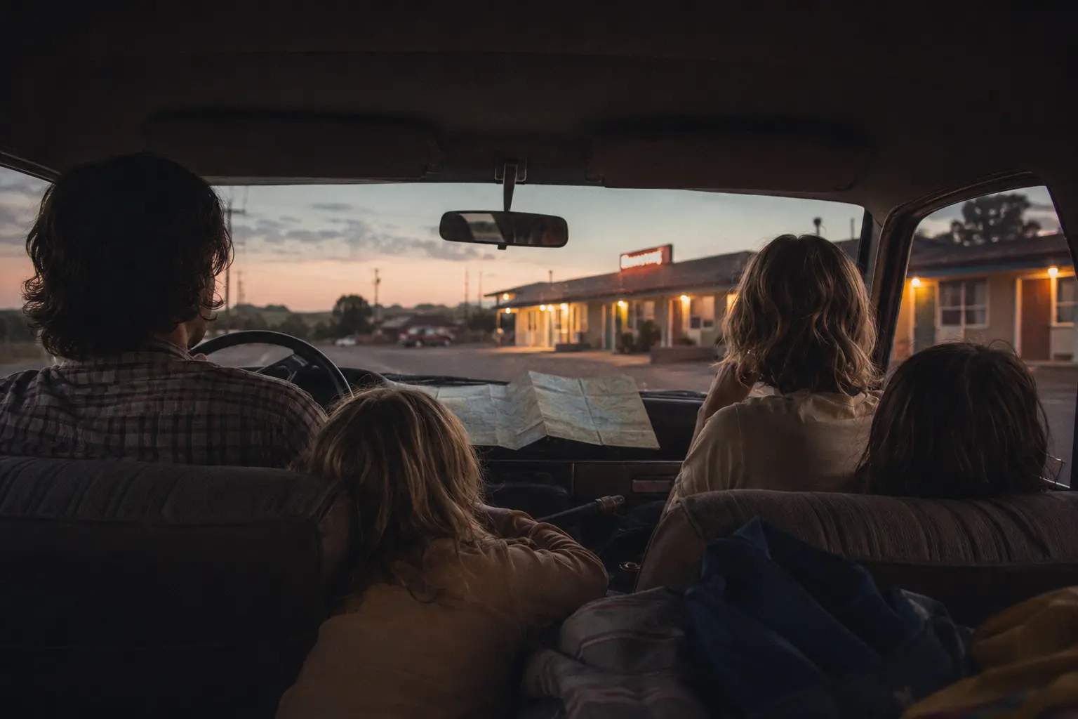
The car became a temporary home
After enough miles, the family car developed its own routines. The front seat managed directions and temperature. The back seat negotiated space, snacks, and whose turn it was to choose a game. Jackets became pillows. Paper bags held trash and treasures. Every stop required a count before the doors closed and the road resumed.
The arrangement could be uncomfortable, but it placed the family inside one continuous experience. Everyone saw the same weather change and felt the same relief when motel lights appeared. Years later, the destination photographs may look similar to thousands of others. The more personal memory is often the moving room that carried complaints, jokes, silence, and anticipation across every mile.
The map worth keeping
Old road maps sometimes preserve a trip more honestly than posed vacation photographs. Creases show where the passenger struggled with a route, circles mark possible stops, and a handwritten line may record the address everyone was trying to reach. Even without notes, the worn panel reveals which part of the journey received the most attention.
A family can preserve that story by marking the route again and adding the details no map contains: where the argument started, which picnic table offered relief, and when the motel lights finally appeared. The route then becomes more than geography; it becomes the shape of time spent together.
Who read the map in your family, and which wrong turn became a story you still tell?
Library of Congress Prints & Photographs · National Museum of American History Collections
This story is an original cultural-memory essay. Details varied across families, communities, and regions.